Wichita Mountains Wildlife Refuge Trail System
32 Refuge Headquarters
Wichita Mountains Wildlife Refuge Trail System
A captivating landscape awaits in southwestern Oklahoma on the Wichita Mountains Wildlife Refuge Trail System. Located within the more than 59,000 acres that make up the Wichita Mountains Wildlife Refuge, this trail system offers options from short and easy to long and challenging.
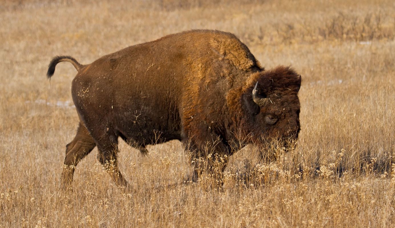
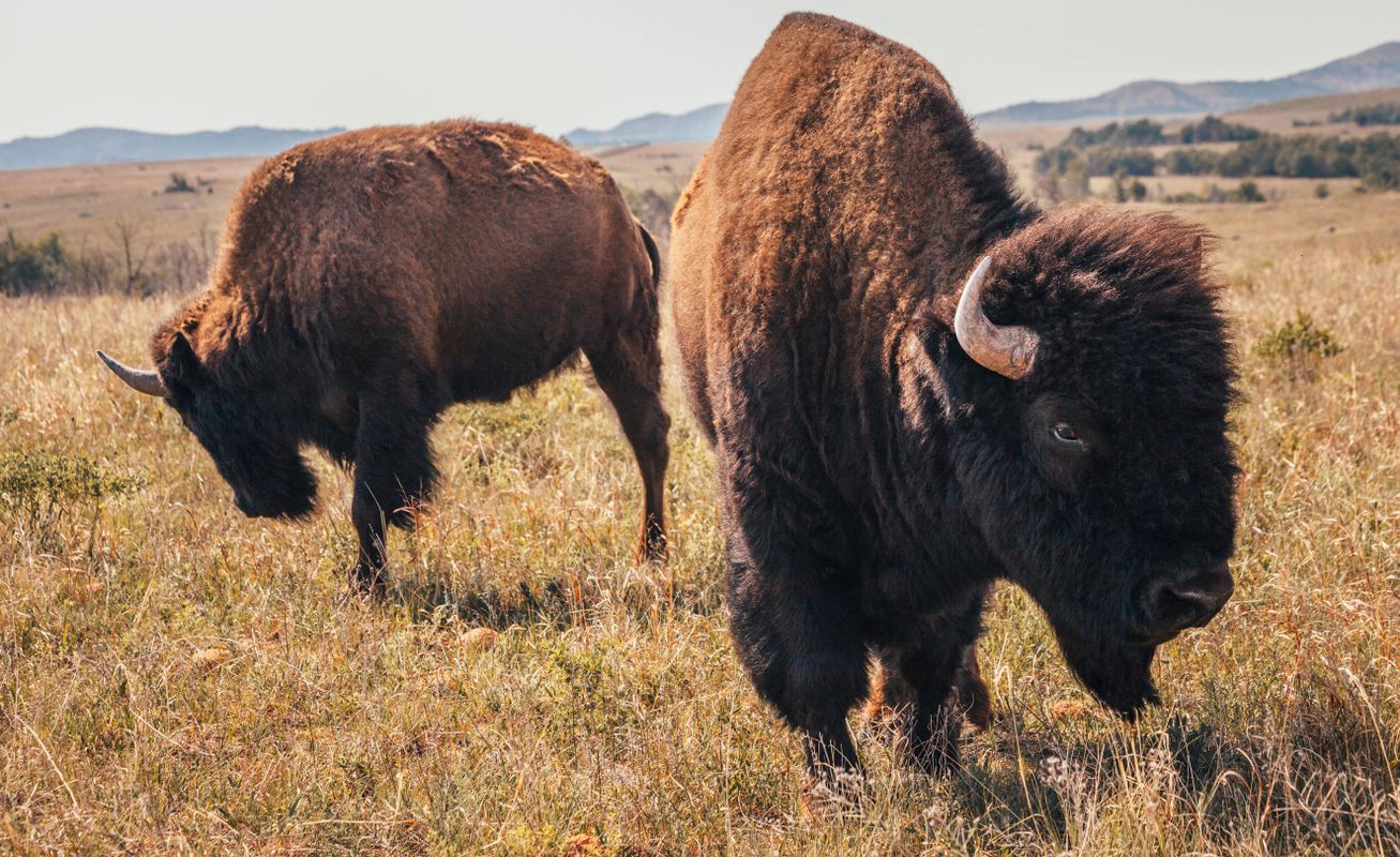
While on a hike on these trails, it's likely you'll observe wildlife including elk, prairie dogs, longhorn cattle and buffalo. Picnic areas, complete with restrooms, are available along the trail system, and maps can be obtained at the refuge's visitor center. Plan your hiking adventure with this destination in mind and you won't be sorry.
Baldy Trail: Along the southwest shores of Quanah Parker Lake, Baldy Trail meanders for 0.83 miles. This trail begins in the southwest side of the Doris Campground, starting off to the southwest. You will slowly ascend on this path as you head toward Little Baldy Mountain. The landscape along this trail consists of rocky outcroppings and boulders, with little vegetation. Once on top of Little Baldy Mountain, you can enjoy beautiful views of Quanah Parker Lake and the surrounding mountains. Continue on the trail to the east side of the mountain, and head to the east. The path will take you on a descent to the lake. Once close to the lake, admire the impressive dam, which you will then cross. The trail ends on the other side of the dam at a parking lot.
Quanah Parker Trail: At 0.36 miles long, the Quanah Parker Trail is the shortest in the trail system. This trail explores a wooded area on the north side of Quanah Parker Lake, and like the Baldy Trail it begins in the Doris Campground, but on the northeast side. Start off to the northeast, immediately crossing part of the lake on a pedestrian bridge. Curve back to the southeast, where you will take a fairly straight path that follows the shoreline of the lake. After a while, the trail will curve again to the southwest, still following the shoreline. The trail will then lead you to the Environmental Education Center, which is the end of the trail. (Drinking water is available there.)
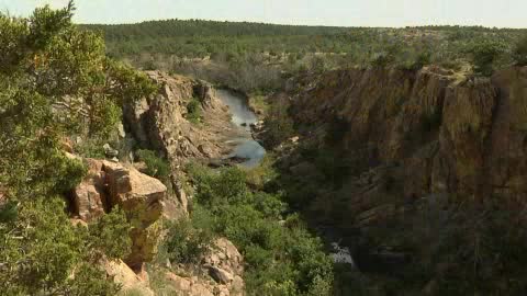
Narrows Trail: The Narrows Trail begins near the Boulder cabin, and takes you through a rocky canyon. This trail is 1.4 miles long out and back. Most of the year there is a creek that flows in the canyon, allowing trees and vegetation to flourish. This trail winds through the bottom of the canyon, where you're surrounded by tall granite walls. Follow the path as it meanders mostly southeast along the canyon, and near the end of the trail, there will be a turnaround loop.
Kite Trail: The 1.2-mile-long Kite Trail begins on the south end of Lost Lake. Take the path as the trail winds around to the northwest on the south shore of the lake, across rugged, open terrain. When you're past the lake, the trail begins to slowly curve to the south, in which direction it will continue for some time. About halfway down the trail, you'll cross a small ravine, then continue on the rocky path. The Kite Trail ends when you reach the Boulder Campground.
Bison Trail: At 5.7 miles long, the Bison Trail is the longest on this trail system. This trail begins near the Fawn Creek Campground, making a complete loop in the heart of the refuge. The trail starts going toward the southeast, and continues in this direction for a while, with some zig-zagging along the way. The trail will make a gradual curve back to the northeast as it follows a creek, then it will hug the shorelines of Lost Lake, then Fish Lake. After Fish Lake, the path will run to the northwest, meandering along the edge of a creek until you reach French Lake. From there, the trail winds around to the south through both open grassland and wooded hills. You will continue on the path and pass a small pond; soon after you will reach the first leg of the trail, which will take you back to where you started.
Longhorn Trail: This trail is a 2.4-mile trail that connects two sides of the Bison Trail loop near French Lake. This trail runs northeast/southwest and can be taken in either direction to explore the area within the Bison Trail loop.
Elk Trail: Similar to Longhorn Trail, Elk Trail is a connector in the Bison Trail loop. However, it is shorter (0.6 miles) and runs in the area closer to French Lake. This trail also runs northeast/southwest, though it is a more jagged route and covers more rocky and wooded areas.
Elk Mountain Trail: This intermediate to expert-level trail starts at the Sunset Campground, and will lead up to Elk Mountain for 1.1 miles. At the beginning of the trail, you'll cross a small footbridge, heading to the southeast. The trail keeps in this direction for the most part, winding around the rocky terrain. As you ascend and get closer to the summit, more boulders will be present, then you'll have a steep climb to the top, where you can take in the stunning views.
Photos








Videos


